After leaving Anchorage, I began to travel back towards the Yukon. I took the Glenn Highway east to Glennallen, the Richardson Highway north a few miles, then the Tok Cutoff Highway to Tok, where I met the Alaska Highway once again. I then drove on the last remaining stretch of the Alaska Highway that I had not seen yet -- the route from Tok to Whitehorse.
All times are in Pacific Daylight Time, regardless of the local
time zone.
Click on an image to see a larger version.
Return to the main Arctic Road Trip page
|
|
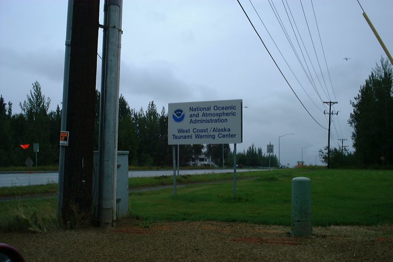
| August 11, 2003 12:14:12 |
I spotted this NOAA "Tsunami Warning Center" in Palmer, AK. Pretty weird.
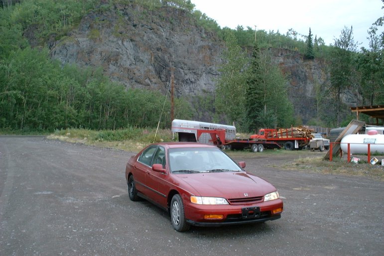
|
| August 11, 2003 13:41:44 |
|
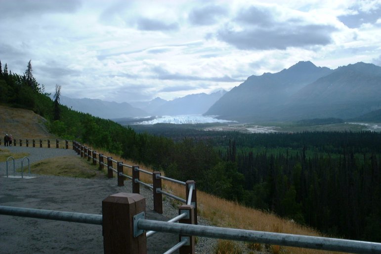
| August 11, 2003 14:03:57 |
A really, really big glacier is in the distance.
|
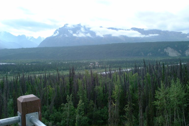
| August 11, 2003 14:04:26 |
|
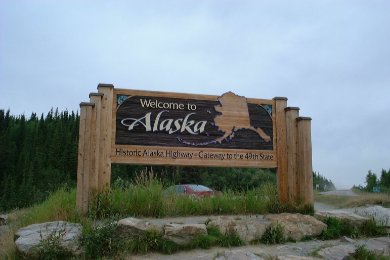
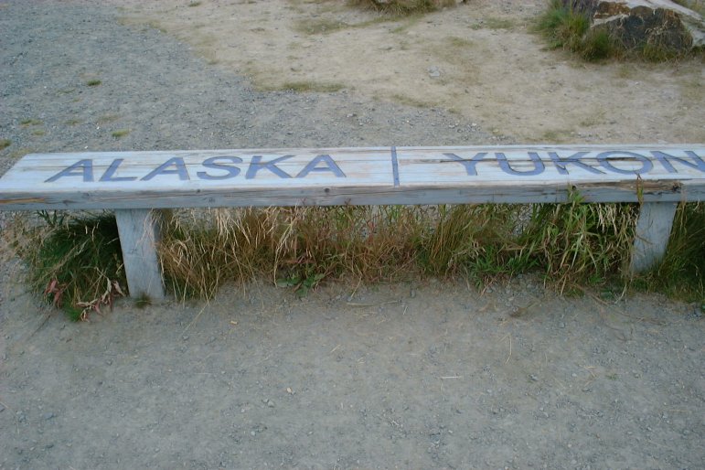
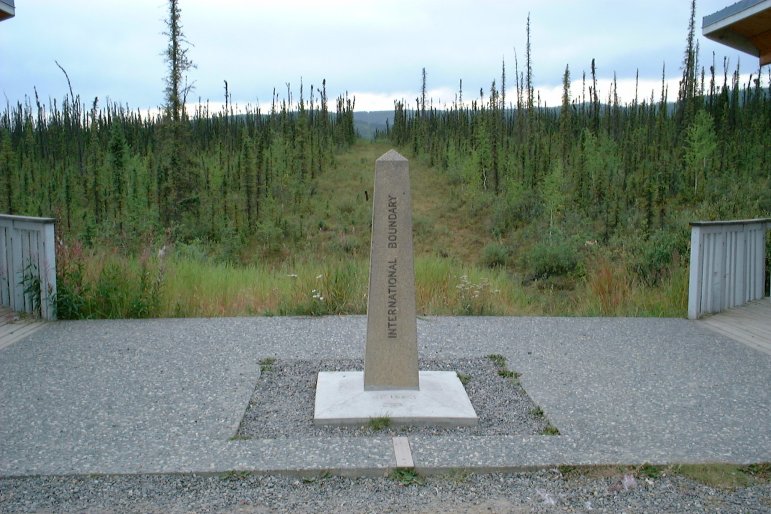
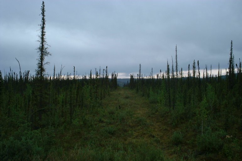
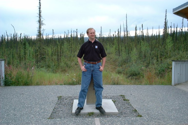
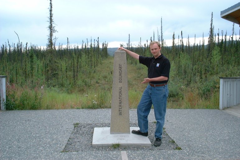
| August 12, 2003 13:45:59 |
These few photos are from the international border on the Alaska Highway.
|
| August 12, 2003 13:46:44 |
Half of this bench is in Canada, and the other half is in the USA.

|
| August 12, 2003 13:47:01 |
|
| August 12, 2003 13:47:52 |
|
| August 12, 2003 13:51:59 |
|
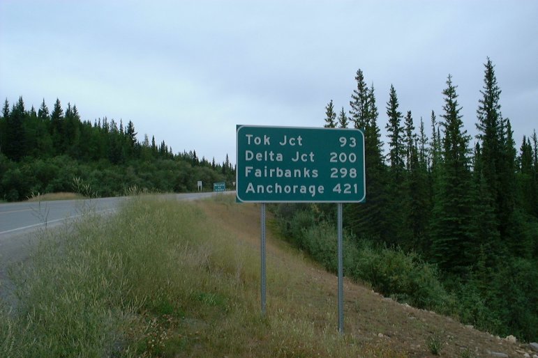
| August 12, 2003 13:53:09 |
This distance sign shows the miles to various points in Alaska.
|
| August 12, 2003 13:56:06 |
In this picture, half of me is in Canada and the other half is in the USA.
|
| August 12, 2003 13:56:56 |
|
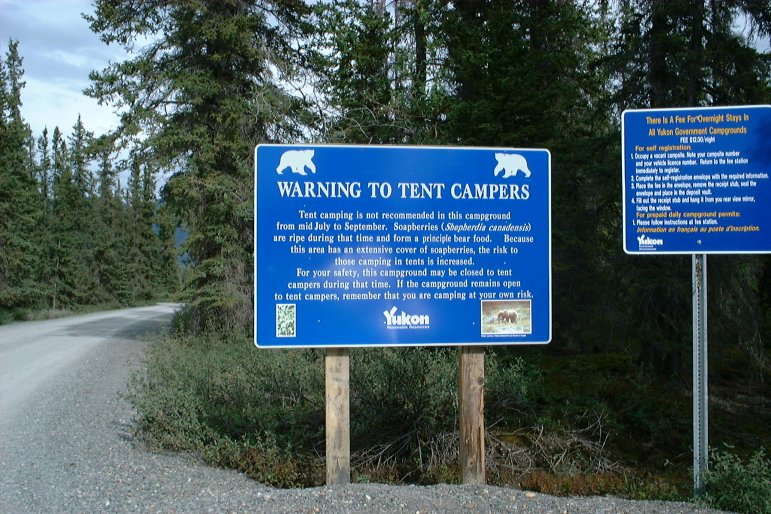
| August 12, 2003 16:52:03 |
This campground's bears apparantly do not get along well with tent campers.
|
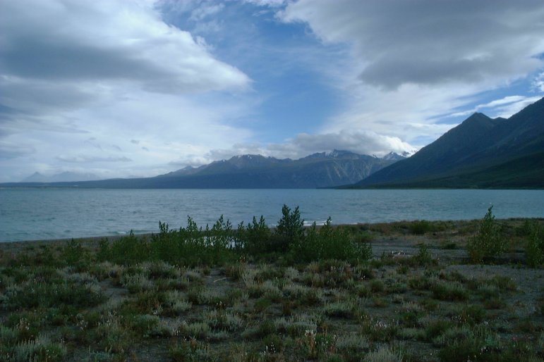
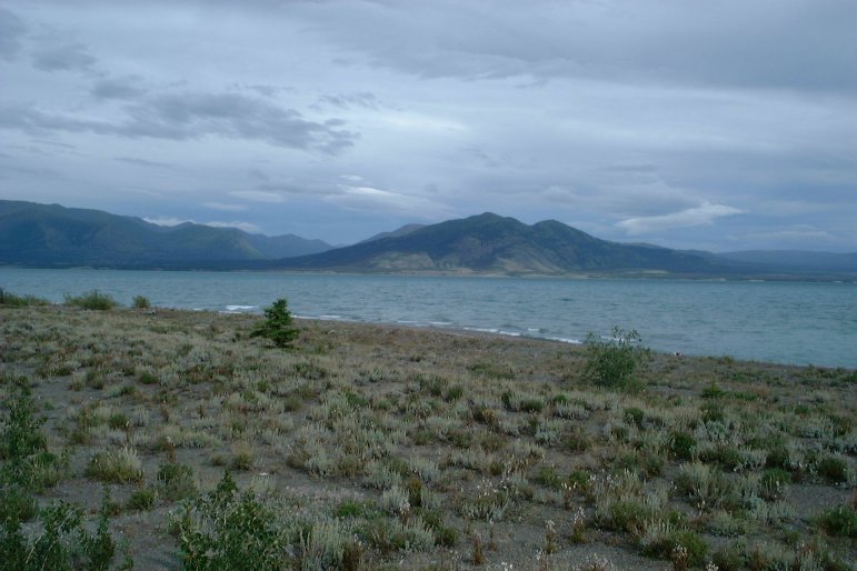
| August 12, 2003 16:59:37 |
Pictures of the Yukon's Kluane Lake.
|
| August 12, 2003 16:59:53 |
|
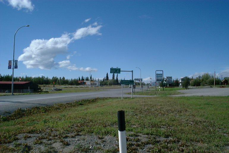
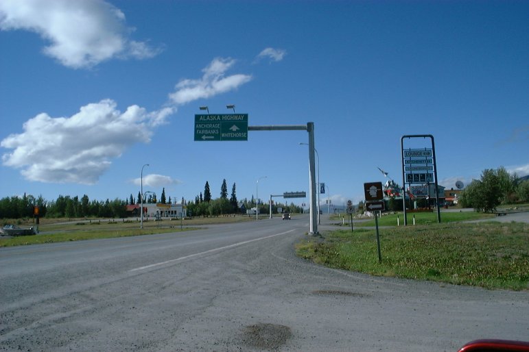
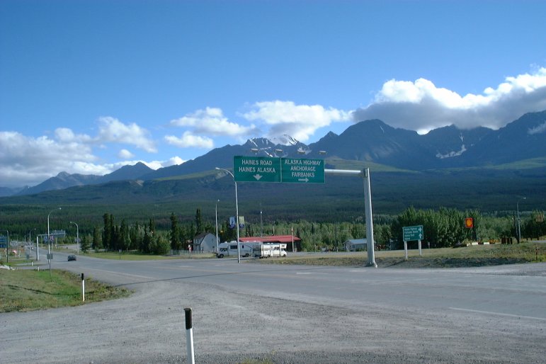
| August 12, 2003 18:25:14 |
Street signs in Haines Junction, Yukon.
|
| August 12, 2003 18:27:21 |
|
| August 12, 2003 18:29:05 |
|
| August 12, 2003 18:30:59 |