Normally I try to take different routes for return trips, but since the Dempster Highway is the only route between the Klondike and the Arctic, I needed to retrace my steps and drive the 450 miles of gravel once more.
All times are in Pacific Daylight Time, regardless of the local
time zone.
Click on an image to see a larger version.
Return to the main Arctic Road Trip page
|
|
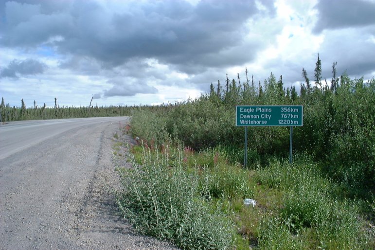
| August 03, 2003 11:48:49 |
This signpost near the Inuvik airport indicates that the distance to Dawson City is 767 kilometers. Dawson City is on the Klondike Highway about 50 kilometers from the junction with the Dempster Highway.
|
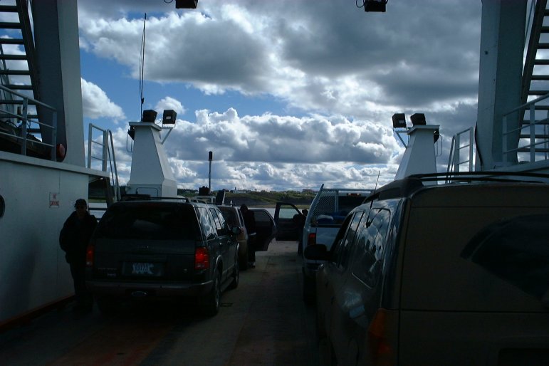
| August 03, 2003 13:30:58 |
The ferry ride back across the Mackenzie River.
|
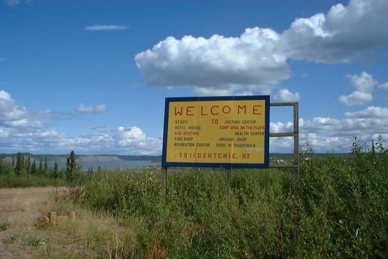
| August 03, 2003 13:38:34 |
Back to Tsiigehtchic!
|
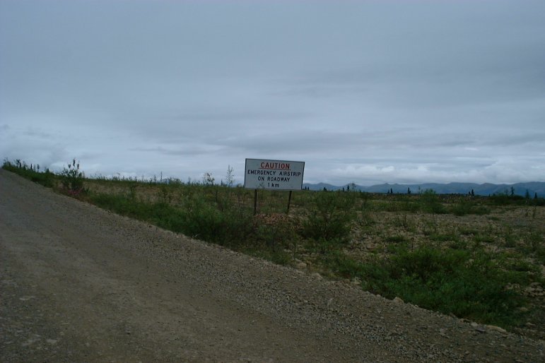
| August 03, 2003 17:23:27 |
There are two or three places on the Dempster Highway where the road widens over a flat area to serve as an emergency airstrip. This sign reads, "CAUTION -- EMERGENCY AIRSTRIP ON ROADWAY -- 1 km".
|
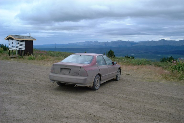
| August 03, 2003 20:26:25 |
A very dusty Davemobile at the Ogilvie overlook.
|
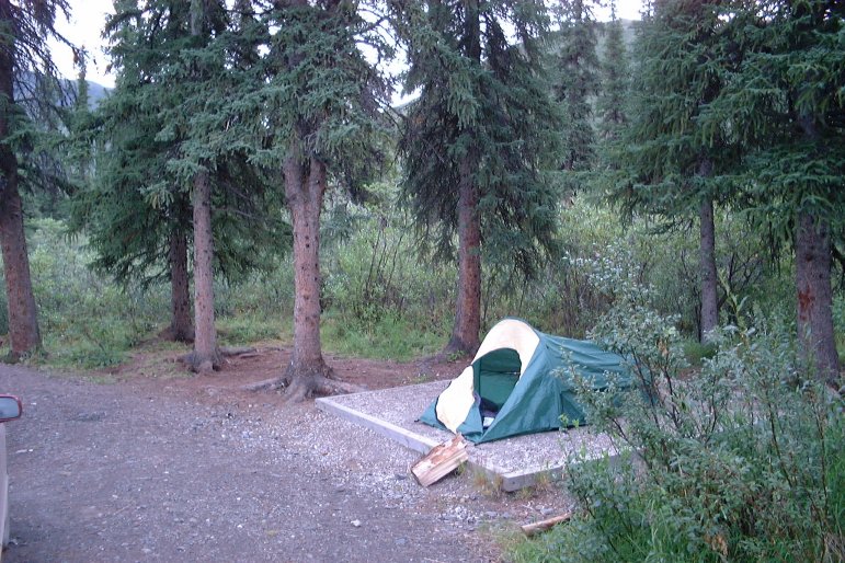
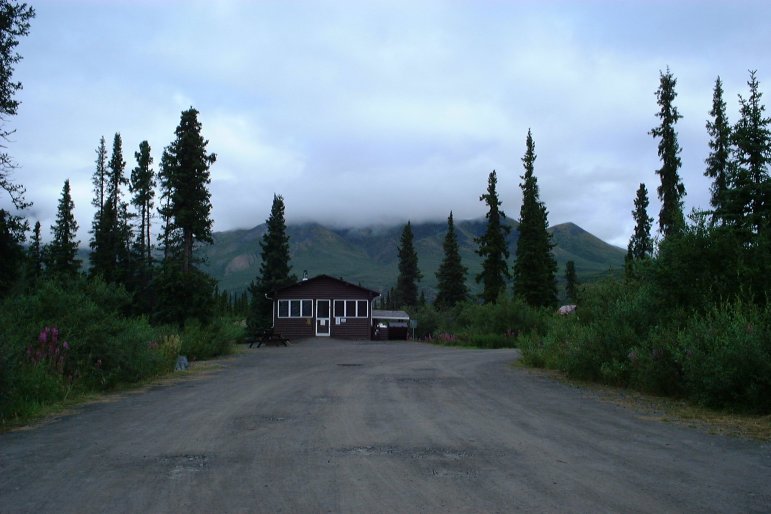
| August 04, 2003 08:35:27 |
Camping out at Tombstone Mountain.
|
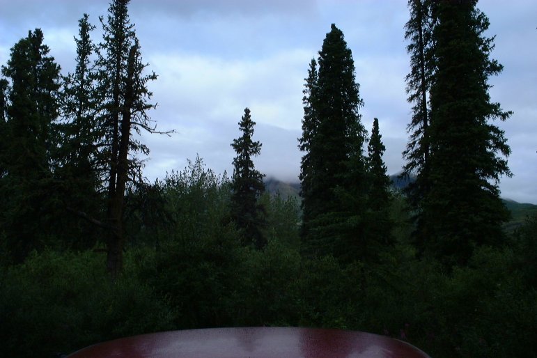
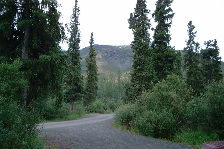
| August 04, 2003 08:36:07 |
More scenes from the Tombstone Mountain area...
|
| August 04, 2003 08:36:49 |
|
| August 04, 2003 09:05:17 |
|
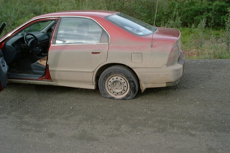
| August 04, 2003 09:15:27 |
The Dempster Highway is very rough on tires, and getting a flat tire on this road is expected.
|
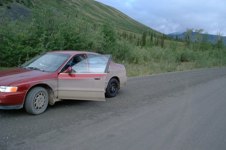
| August 04, 2003 10:03:38 |
The car is ready to travel once again.