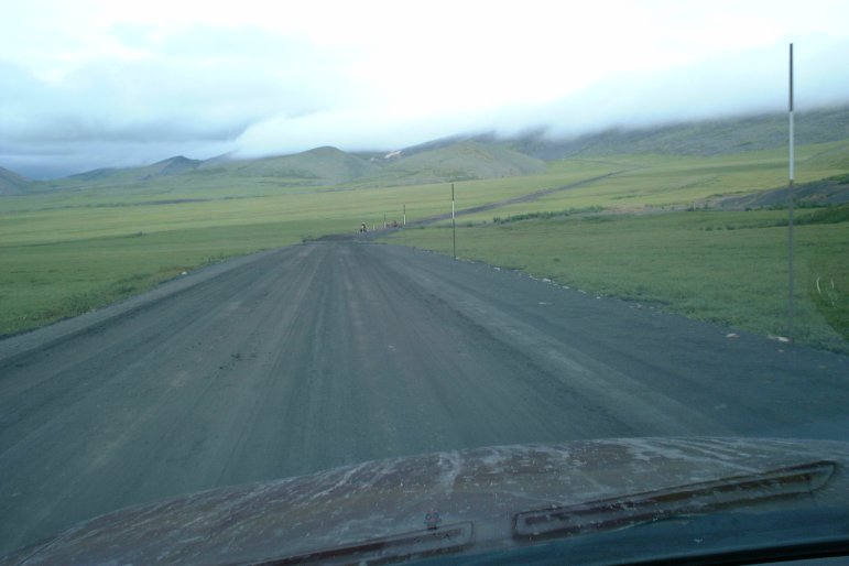
The Dempster Highway is 450 miles of gravel road connecting the Klondike Highway to the Arctic regions of the Yukon and Northwest Territories. That's 900 miles of gravel driving round-trip. Combined with other gravel routes I drove on this trip, I'm sure I must have driven well over 1000 miles on gravel. It was worth it -- the Dempster Highway has some amazing scenery. These photos do not do it justice -- you really have to be there.
All times are in Pacific Daylight Time, regardless of the local
time zone.
Click on an image to see a larger version.
Return to the main Arctic Road Trip page
|
|
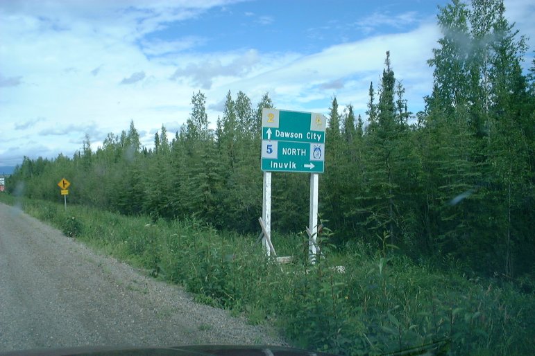
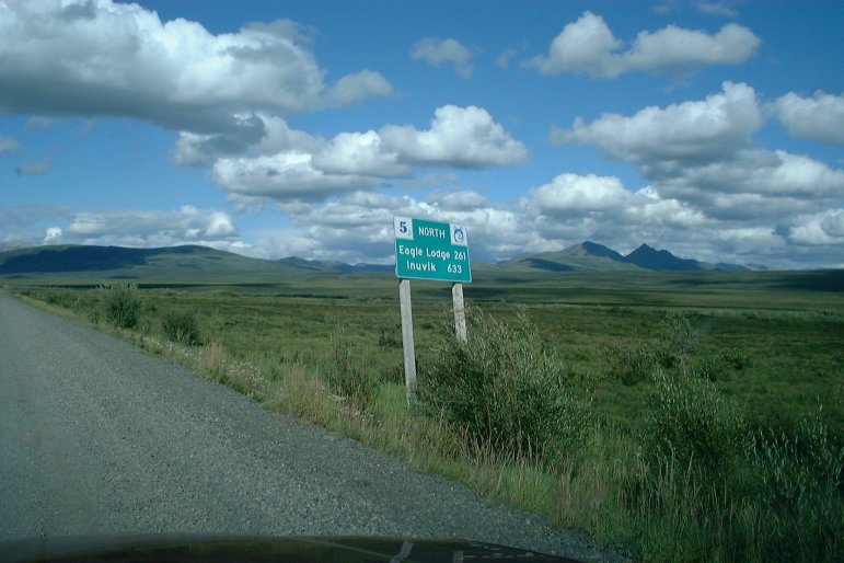
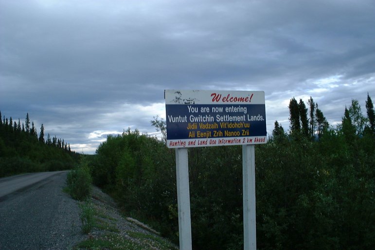
| July 30, 2003 14:07:19 |
This highway sign indicates I'm approaching the Dempster Highway (Yukon route 5), which travels north to the Arctic town of Inuvik, Northwest Territories.
|
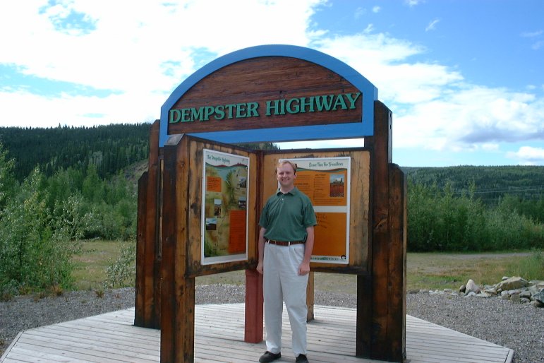
| July 30, 2003 14:40:24 |
Here's me standing next to the Dempster Highway sign at the beginning of the road.
|
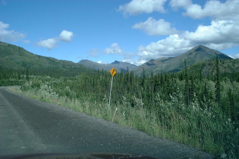
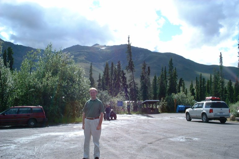
| July 30, 2003 16:03:32 |
Here's me at the Tombstone Mountain campground.
|
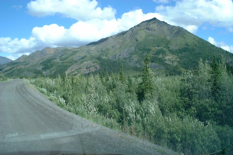
| July 30, 2003 16:08:52 |
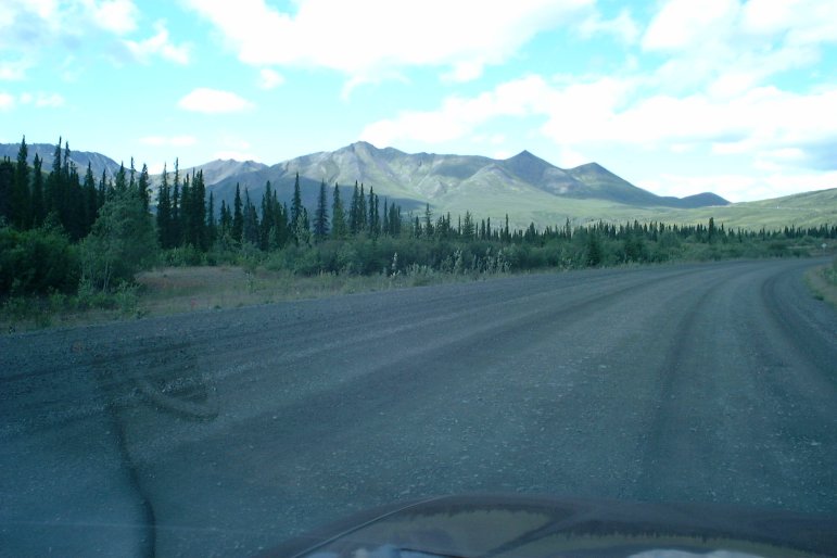
|
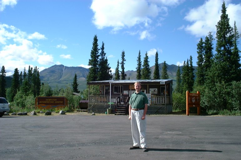
| July 30, 2003 16:18:13 |
|
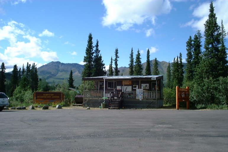
| July 30, 2003 16:22:51 |
|
| July 30, 2003 16:24:12 |
|
| July 30, 2003 16:24:50 |
|
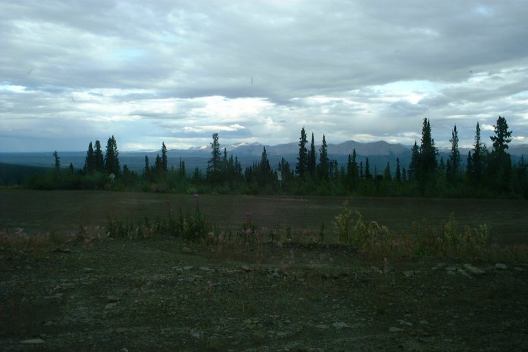
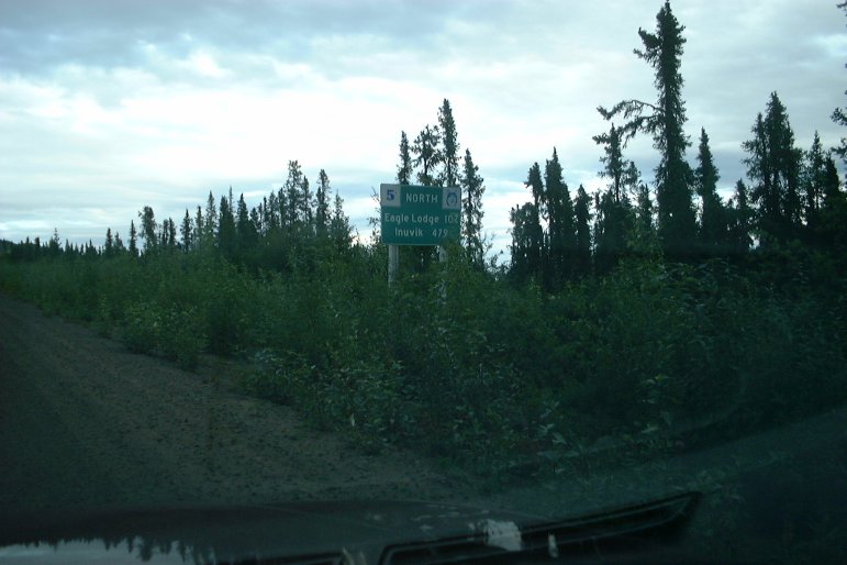
| July 30, 2003 17:25:11 |
Inuvik is only 633 kilometers away! Hurrah!
|
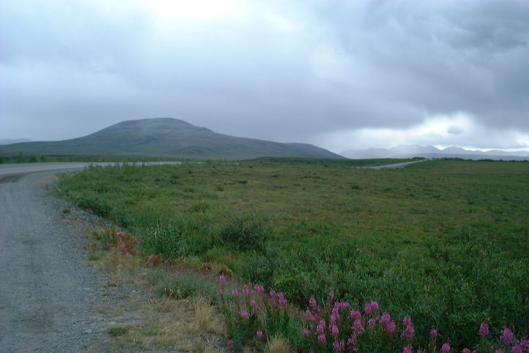
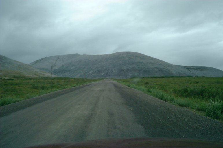
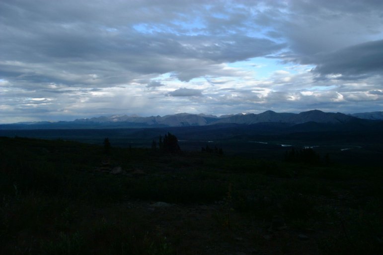
| July 30, 2003 17:46:29 |
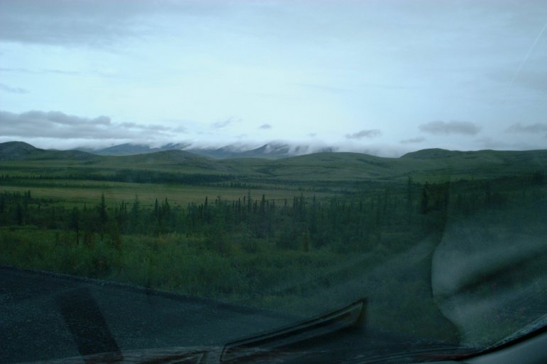
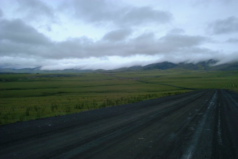
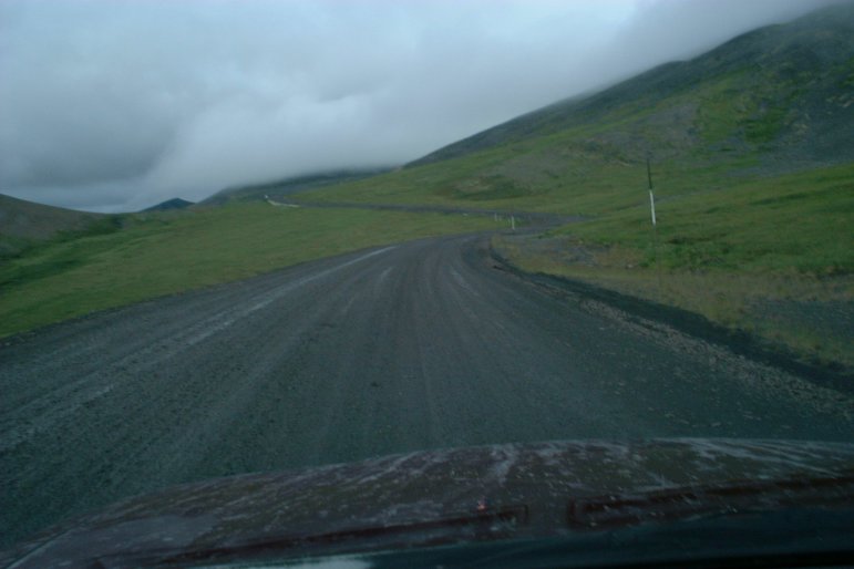
The Dempster Highway stretches off into the distance, where it meets some very interesting weather.
|
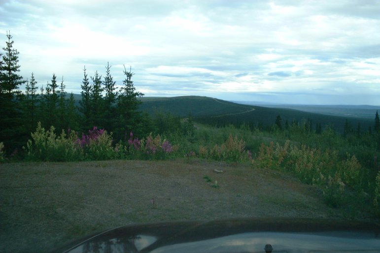
| July 30, 2003 17:54:08 |
|
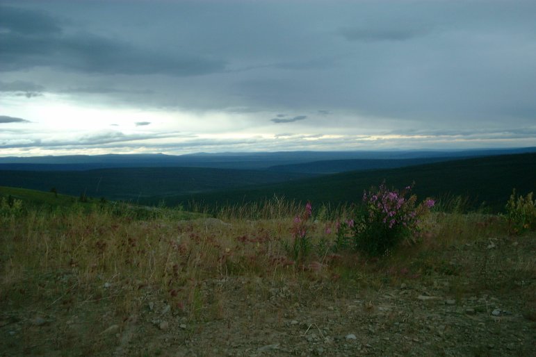
| July 30, 2003 18:02:04 |
|
| July 30, 2003 18:24:24 |
|
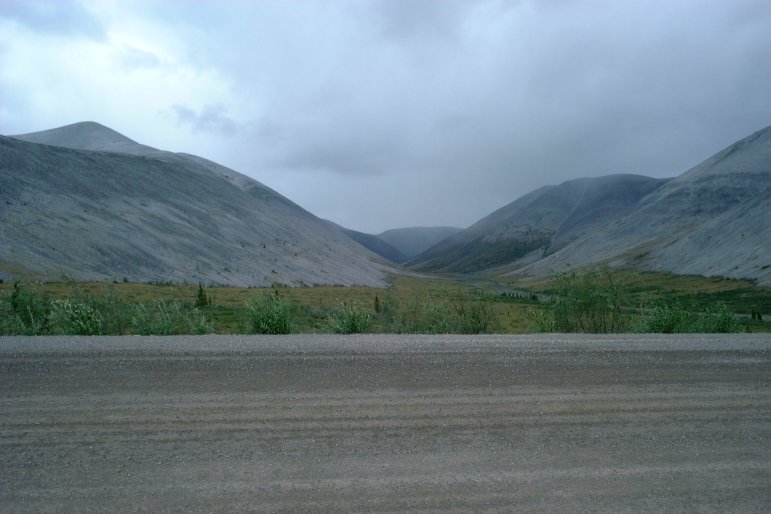
| July 30, 2003 18:26:02 |
|
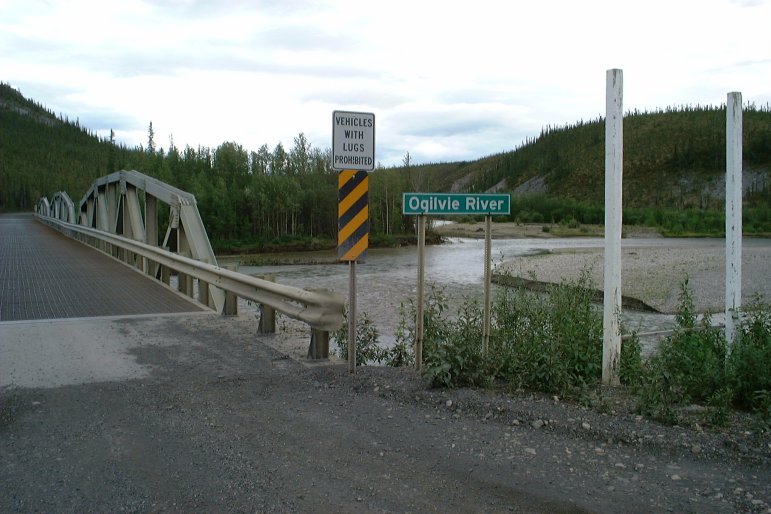
| July 30, 2003 19:06:03 |
The Ogilvie River bridge.
|
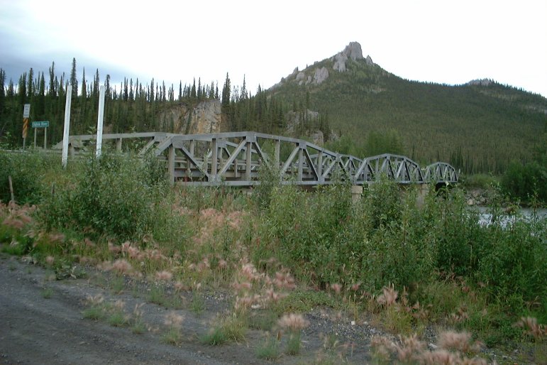
| July 30, 2003 19:06:27 |
|
| July 30, 2003 19:55:13 |
|
| July 30, 2003 20:15:15 |
|
| July 30, 2003 20:16:05 |
The Dempster Highway is in the background.
|
| July 30, 2003 20:16:54 |
|
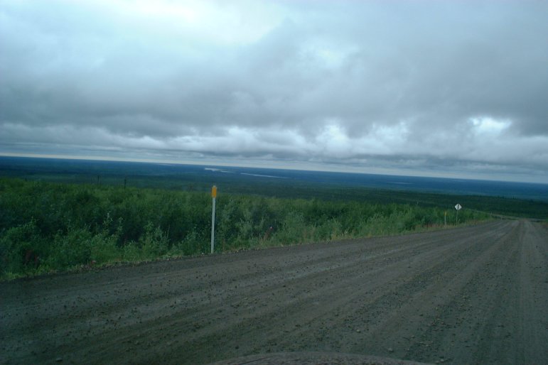
| July 30, 2003 20:25:51 |
Now I'm only 479 kilometers from Inuvik. It can't be too far now!
|
| July 30, 2003 20:33:31 |
|
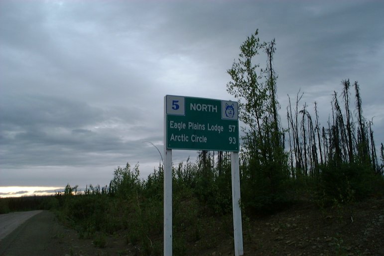
| July 30, 2003 21:25:43 |
93 kilometers south of the Arctic Circle.
|
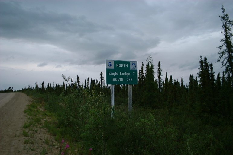
| July 30, 2003 22:10:52 |
Only 379 kilometers to Inuvik! But the Eagle Plains Lodge is only 7 kilometers away, which is where I stayed for the night.

|
| July 31, 2003 12:39:21 |
Heavy rains came the next morning, making the Dempster Highway too dangerous to drive, so I hung out at the lodge until around midday when conditions were better.
|
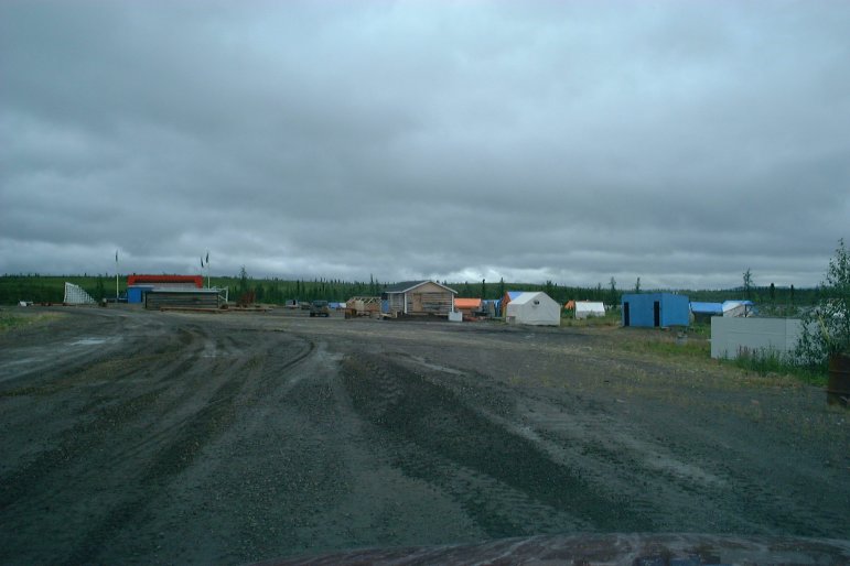
| July 31, 2003 13:07:11 |
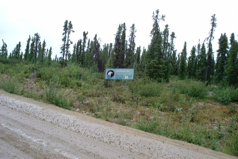
"Welcome to Eagle Plains -- Population 8". Eagle Plains is not a real town. It's just a stop with a small restaurant and hotel.

|
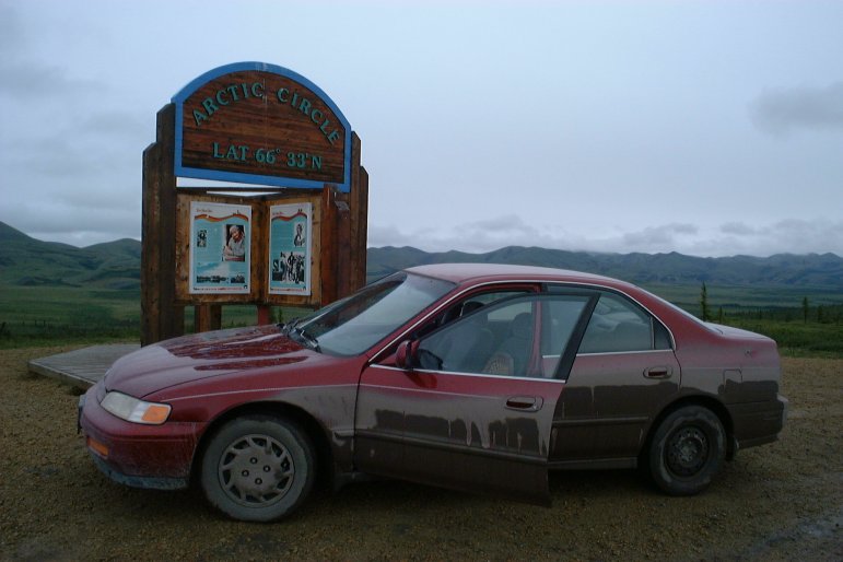
| July 31, 2003 14:07:09 |
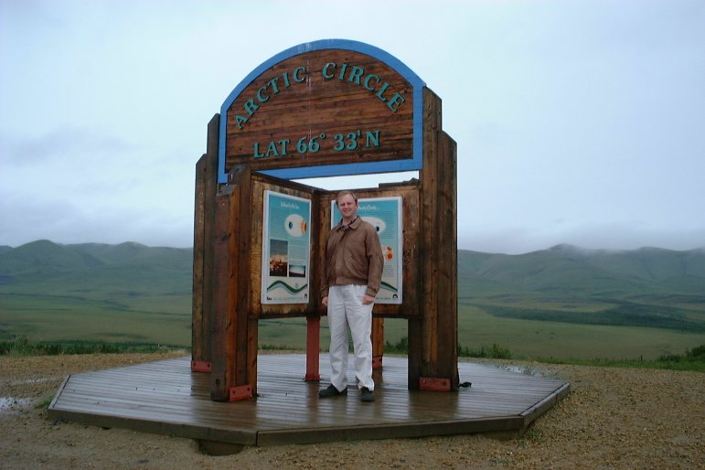
At last, I arrive at the Arctic Circle. Everything north of here is considered the Arctic.
|
| July 31, 2003 14:07:37 |
|
| July 31, 2003 14:21:05 |
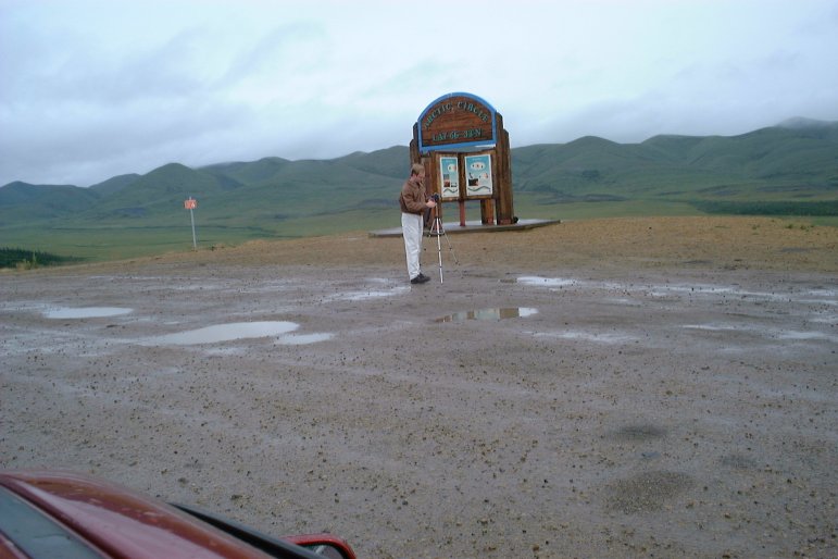
Here, I'm setting up the tripod for a camcorder shot. My still camera is sitting on top of the car.
|
| July 31, 2003 14:41:22 |
I'm willing to bet that I had the most northerly Mississippi license plate that day.
|
| July 31, 2003 14:41:38 |
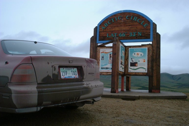
A very dirty Honda Accord is ready to explore the Arctic.
|
| July 31, 2003 15:32:38 |

|
| July 31, 2003 15:45:53 |
|
| July 31, 2003 15:47:01 |
|
| July 31, 2003 15:57:43 |
|
| July 31, 2003 16:03:23 |
|
| July 31, 2003 16:15:36 |
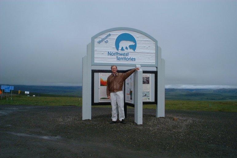
It's finally time to leave the Yukon and enter the Northwest Territories.
|
| July 31, 2003 16:18:36 |
NWT uses a blue background on their distance signs. Only 270 kilometers to Inuvik!
|
| July 31, 2003 17:23:03 |
There had been some sort of festival near this lake, but it wasn't going on when I was passing through.
|
| July 31, 2003 18:00:18 |
|
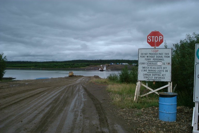
| July 31, 2003 18:12:03 |
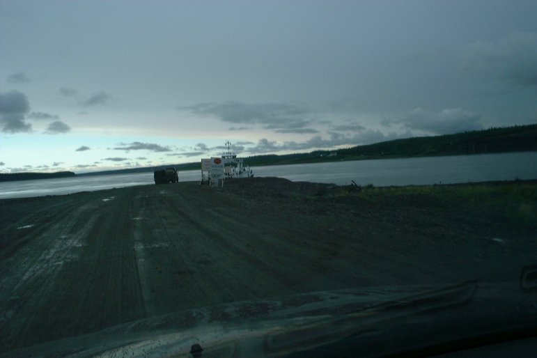
There is no bridge across the Peel River -- vehicles must be carried across by ferry.
|
| July 31, 2003 18:49:32 |
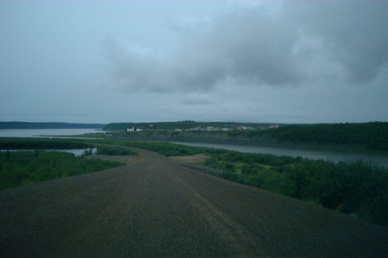
Across the Peel River is the small outpost of Fort McPherson.
|
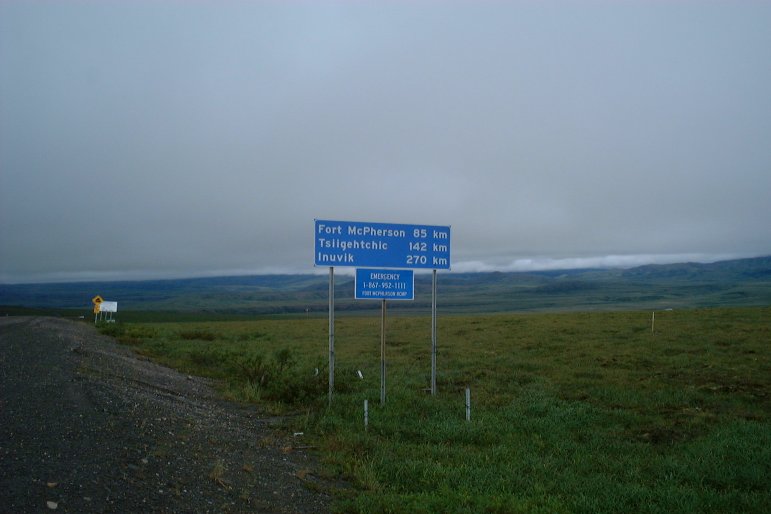
| July 31, 2003 18:53:54 |
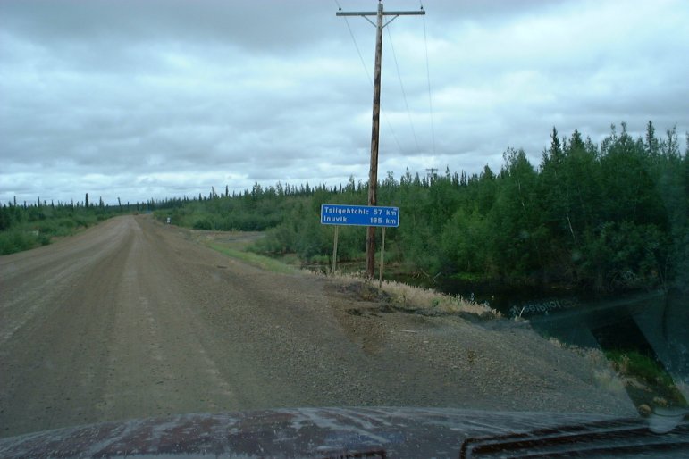
Inuvik -- 185 kilometers!
|
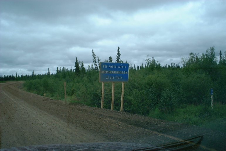
| July 31, 2003 18:54:32 |
Although this sign makes it sound optional, it's required by law to drive with headlights on in the Yukon and Northwest Territories.
|
| July 31, 2003 18:55:30 |
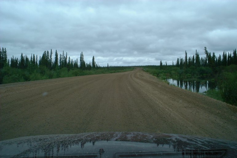
|
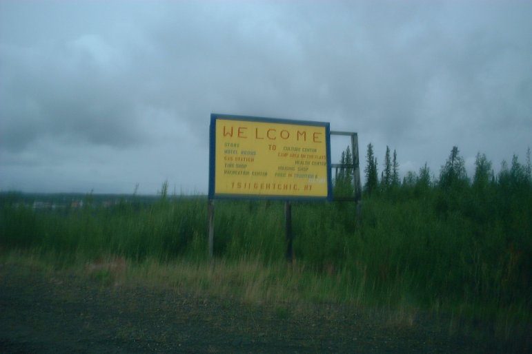
| July 31, 2003 19:51:53 |
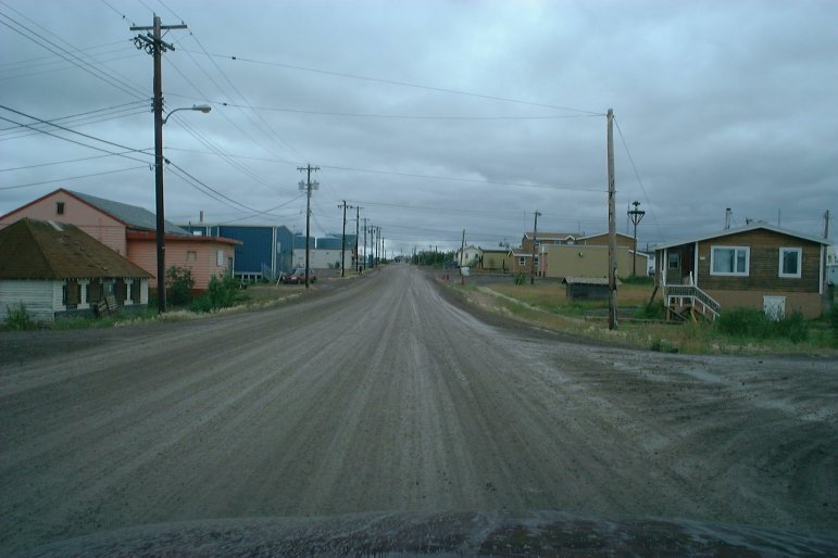
A blury picture of a sign welcoming me to the town of Tsiigehtchic.
|
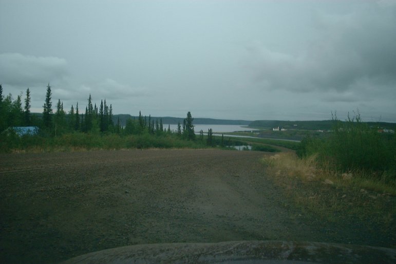
| July 31, 2003 19:52:12 |
|
| July 31, 2003 19:52:58 |
|
| July 31, 2003 19:54:54 |
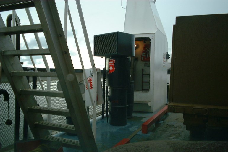
Another ferry ride is required to cross the Mackenzie River.
|
| July 31, 2003 19:56:16 |
On board the ferry.
|
| July 31, 2003 19:56:40 |